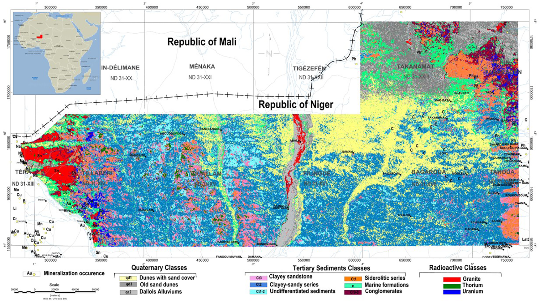
Integrating airborne geophysics with Landsat TM imagery and geology for assessing the mineral potential of the Iullemmeden Basin, Niger.
Airborne geophysical surveys, consisting of fixed-wing magnetic gradiometer and gamma-ray spectrometer and helicopter-borne full-waveform Versatile Time-Domain Electromagnetic (VTEM™) surveys were carried out over the Iullemmeden basin, in western Niger for mineral exploration and detailed geological mapping
Category: Case Study, Conference
