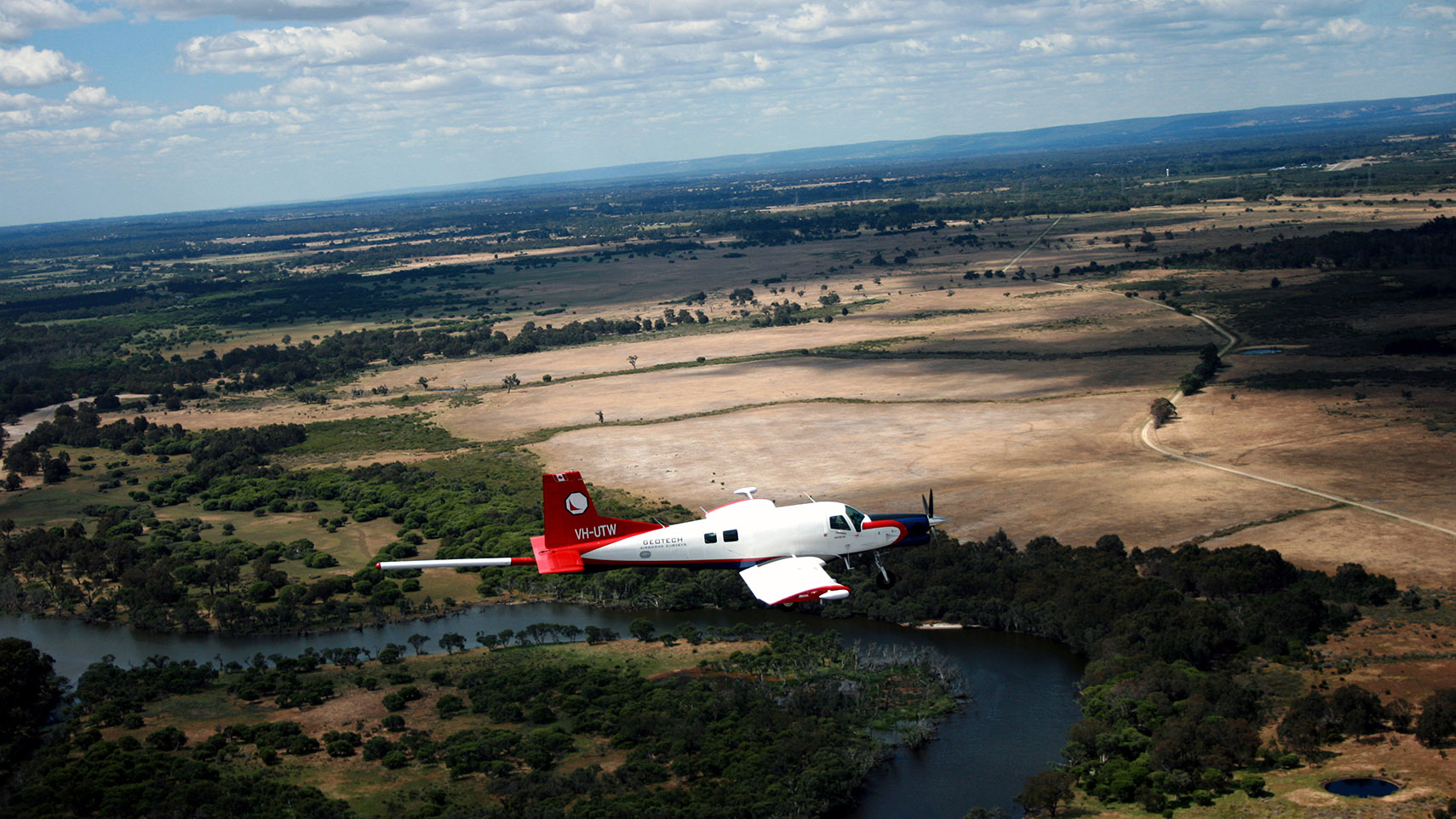
Electromagnetics allow us to map the conductivity or resistivity of the surface and subsurface of the earth.
By measuring and interpreting the propagation of man-made (VTEM™) and naturally occurring (ZTEM™) electromagnetic fields, we can infer the conductivity of the subsurface or a specific geologic rock unit.
Electromagnetic surveys can map in 3 dimensions, from the surface to depths over 1,000 m, which provides great insight into the geological properties of the earth.


