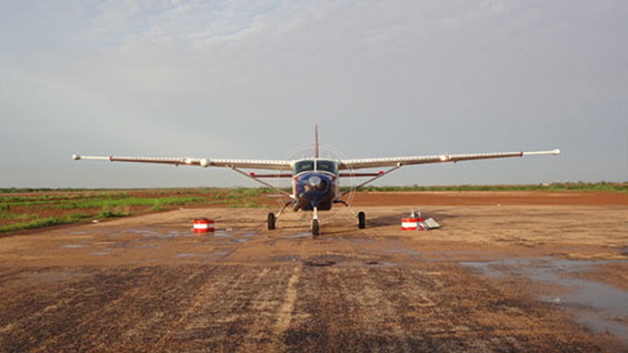
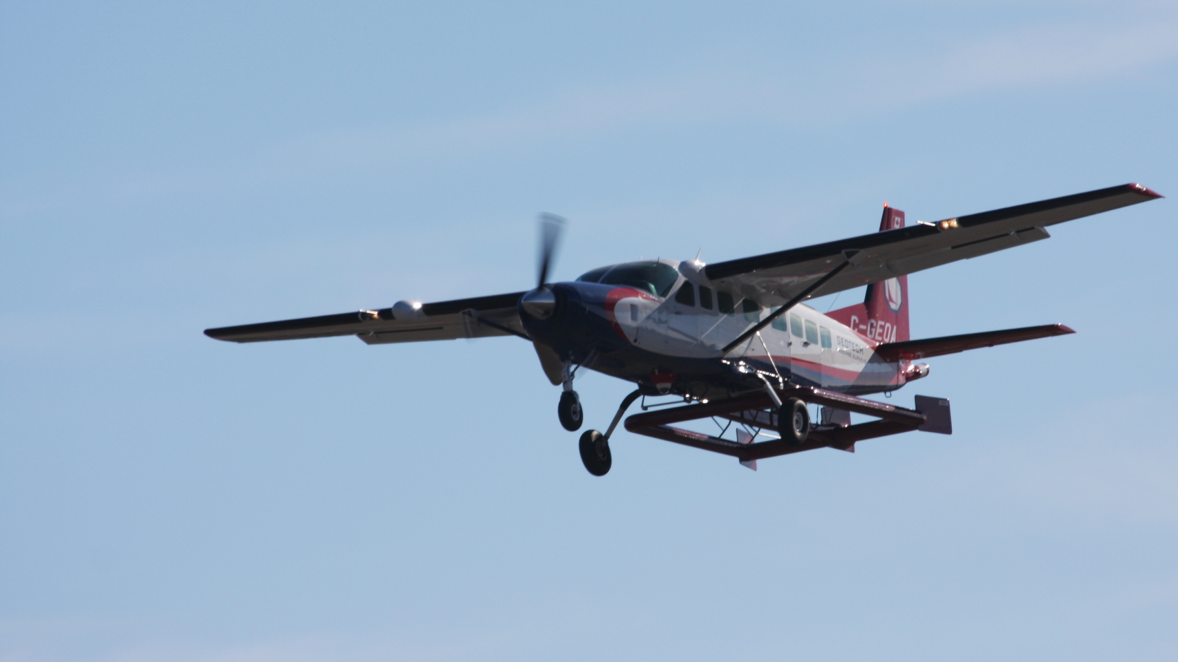
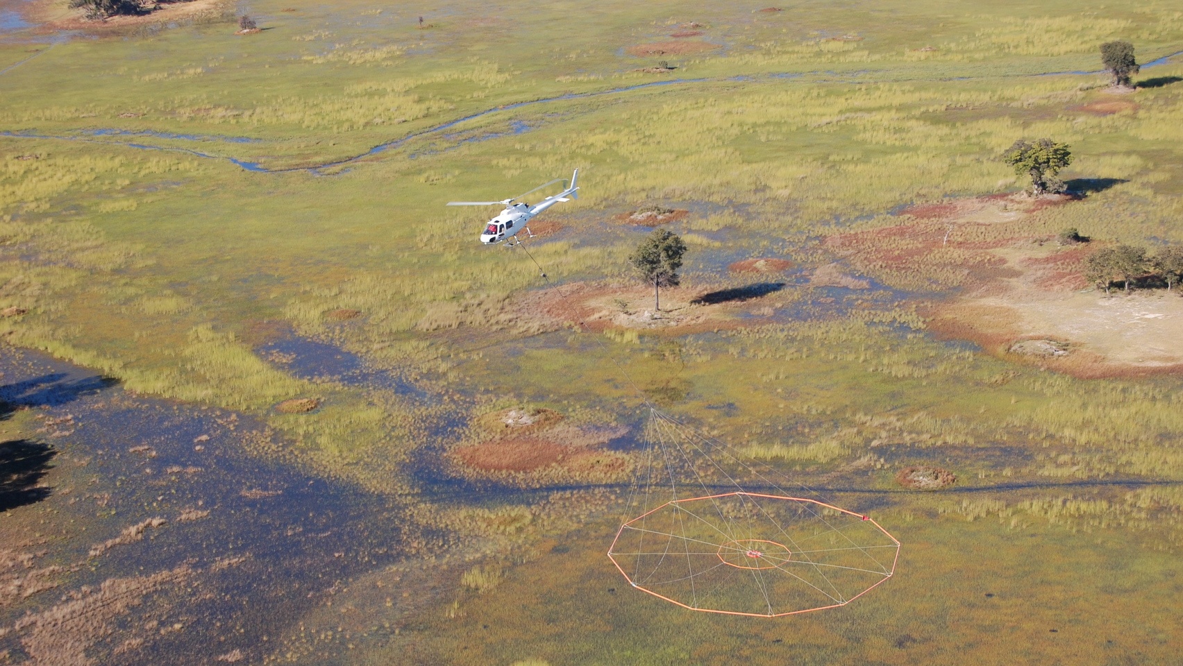
Geotech has experience providing oil and gas clients with fixed-wing Magnetics, Gravity and helicopter ZTEM™ and VTEM™.
Data collection
Magnetics and Gravity surveys help oil and gas companies map the subsurface over large areas quickly and efficiently. ZTEM™ complements these technologies during the initial stages of exploration, and is often accompanied by ground magnetotellurics (MT) stations. Joint ZTEM™ and MT inversions provide resistivity information that can be compared with other geophysical and geological observations. Oil and gas companies use the data we provide to better plan seismic campaigns or detailed electromagnetic (EM) surveys such as controlled source electromagnetic (CSEM).
VTEM™ is useful to map shallow sub-horizontal units with the potential for underground water content or low velocity zones. Low velocity zones are also well detected with time-domain electromagnetic (TDEM) surveys such as VTEM™. In these cases, we convert resistivity to seismic velocity using well logs, and then are able to use this velocity field for seismic processing and enhancing deep structures of interest.
Data processing and interpretation
We work with oil and gas clients to meet their individual data processing and interpretation requirements. We are transparent in everything we do and are always happy to review our processes with you at any time.
Data processing includes Magnetic Tipper Computation using time series from an airborne system. Our controlled source VTEM™ system employs a streamed dataset to stack TDEM decay curves and enhance the power-to-noise ratio from early to late times.
We interpret data in resistivity maps and then in selected sections. For ZTEM™, high-resolution 3D inversions help oil and gas clients understand the data we collect. For VTEM™, we often present 1D and 3D results since both can assist with analysis.


