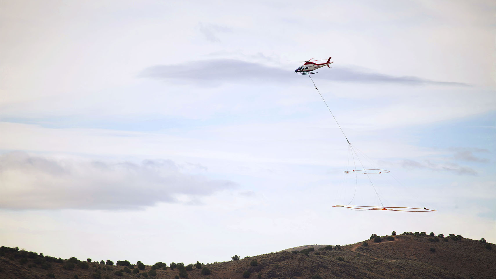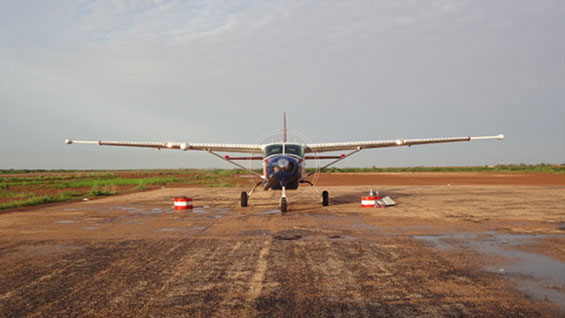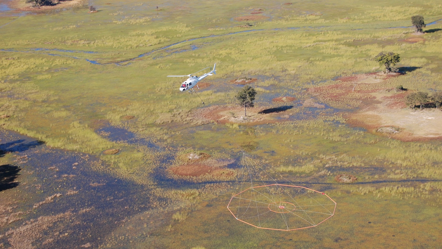
Data collection
VTEM™ is a proven solution to map shallow sub-horizontal units with the potential for underground water content or low velocity zones. Delineating buried valley aquifer and bedrock unit boundaries. The VTEM™ system has excellent horizontal and vertical resolution for the purpose of mapping diverse heterogeneous aquifer units. Complex hydrogeological frameworks require the combination of high quality data to allow for extensive hydrogeological mapping.
Geotech has conducted numerous geophysical campaigns with the aim of determining the thickness of the protective moraine clay layer over threatened shallow aquifers. Through the use of geoelectrical and electromagnetic mapping and using 2D-HLCI pseudo inversion methods Geotech has successfully mapped the protective layer for numerous localities for use by water resource managers.
Data processing and interpretation
Data processing included for the VTEM™ system employs a streamed dataset to stack TDEM decay curves and enhance the power-to-noise ratio from early to late times.
Our interpretation experience is customized to fit our client’s individual requirements, to ensure the geophysical dataset is accurately formulated into interpretive products that are immediately usable for resource management use. We are transparent in everything we do and are always happy to review our processes with you at any time. Geotech has developed their proprietary 2D inversion code which we feel is customized to improve the analyses of highly heterogeneous hydrogeological units such as buried valley aquifer and thin aquifer units within the underlying bedrock. Integrating any available geology into the model, including well log data will assisting in providing the optimum interpretation solution.