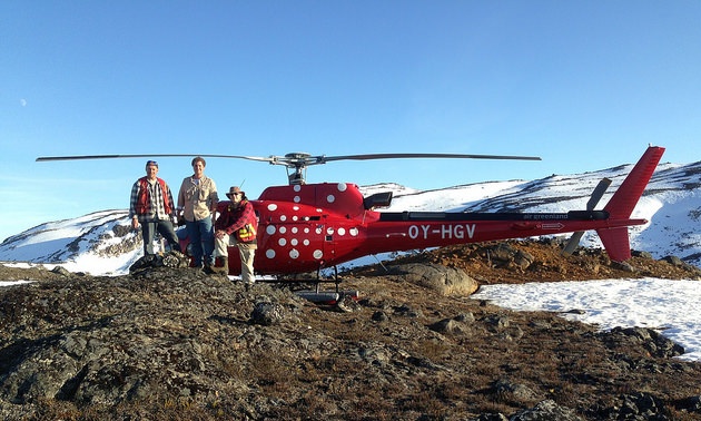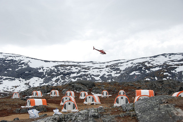
A VTEM Plus helicopter time domain electromagnetic (TDEM) survey program helped North American Nickel crews identify 50 conductive zones at the Maniitsoq project in Greenland.
— Photo courtesy of North American Nickel
Neil Richardson, chief operating officer for NAN said that airborne surveys are more effective than fixed-wind aircraft surveys and are better suited to rugged terrain.
“We have completed over 5,000 fly surveys in Greenland and subsequently reduced the property size to 3,600 square kilometres, essentially paring it back a third,” said Richardson. “But we still have a lot to go.”
NAN has identified at least 12 of the 50 defined targets as higher priority zones with the potential to become targets for a drill program set to commence this year. Analysis of the data is still underway.
Rick Mark, CEO for NAN, said the higher priority targets are equal to three identified last fall, some with apparent strike lengths of more than one kilometre.
“Now that we can point conclusively to conductors occurring throughout the 75-km-long belt, we are more comfortable than ever in describing this as a camp-scale exploration play,” he said.
The VTEM Plus helicopter survey, combined with the results of a SkyTEM survey of the area conducted last year provides the company with high-resolution TEM coverage over a total area of 860 square kilometres, centred on the Greenland Norite Belt.
The advantage of airborne surveying over the fixed-wing aircraft surveys run in the area by Cominco in the 1980’s and 1990s, is the ability to hug the land and get lower in rough terrain.

The advantage of airborne surveying over the fixed wing aircraft surveys that were run in the area by Cominco in the 1990s, is the ability to hug the land and get lower in rough terrain.
PHOTO COURTESY OF NORTH AMERICAN NICKEL
“Fixed-wing aircrafts can’t hover or stay close to the terrain,” said Richardson. “They flew very high and they didn’t get any feedback. We are sitting at 260 targets.”
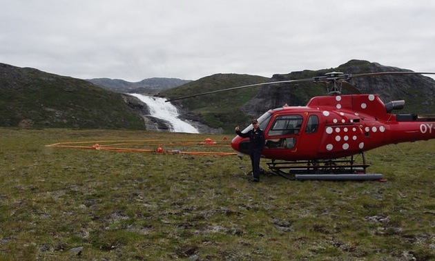
The VTEM system carries a loop under the helicopter approximately 27 metres in diameter. The loop carries an electromagnetic field that shuts off in milliseconds and energizes sulphides in the ground.

The VTEM system carries a loop under the helicopter, which carries an electromagnetic field.
PHOTO COURTESY OF NORTH AMERICAN NICKEL
One advantage of Greenland is that the landscape is 85% rock exposure so the crew can see the rusty spots on the surface indicating the target.
“We can see if it is the right rock type, which is nitrite, and can see the sulphides that are making up the anomaly,” he said.
Ground electromagnetic (EM) surveys are also useful and better at defining targets, said Richardson, because the receiver is on the ground.
“The helicopter method can cover 500 to 600 kilometres in a single day and can show about 200 metres deep,” said Richardson. Ground EM surveying has a 400 to 500 metres depth capacity and definition. “We are still running 100-metre lines and 25-metre station lines quickly with the ground system,” he said.
The one-month survey ran from June to July and was conducted by Geotech Ltd. of Toronto, Ontario. For the full news story click here.